walking design / designing walks: Revealing water stories as paths to resilient urban landscapes
UTS Vertical Studio Spring 2021
Subject Coordinator: Saskia Shut
Studio section convenor: Melissa Cate Christ
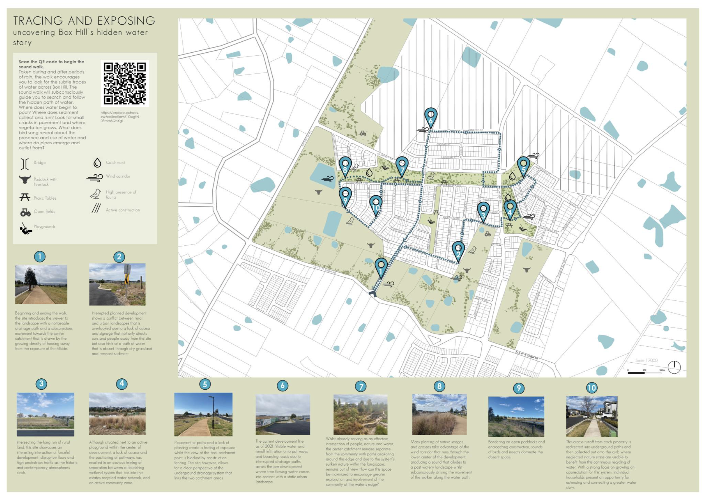
Above: Credit Lily Depazzi 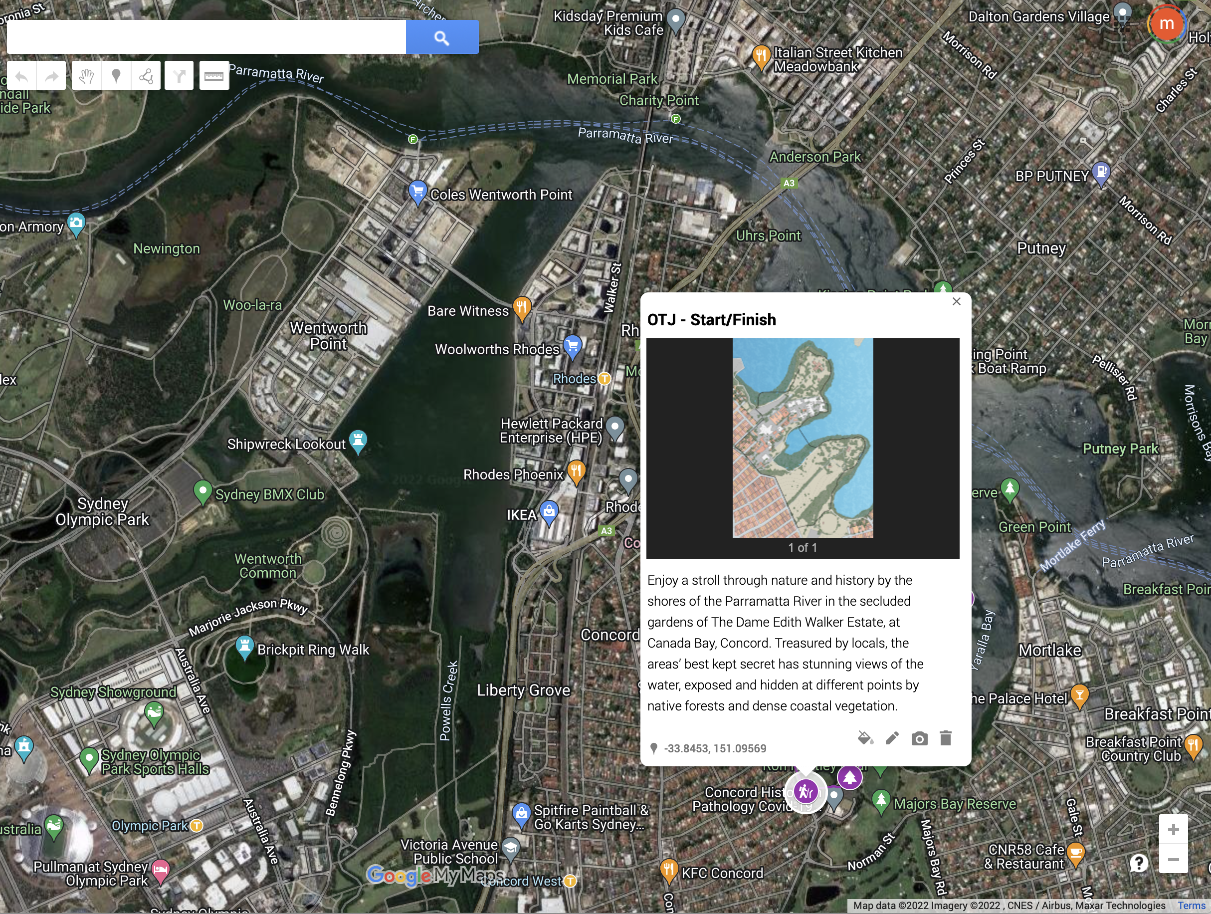 Below: Credit Oliver Turner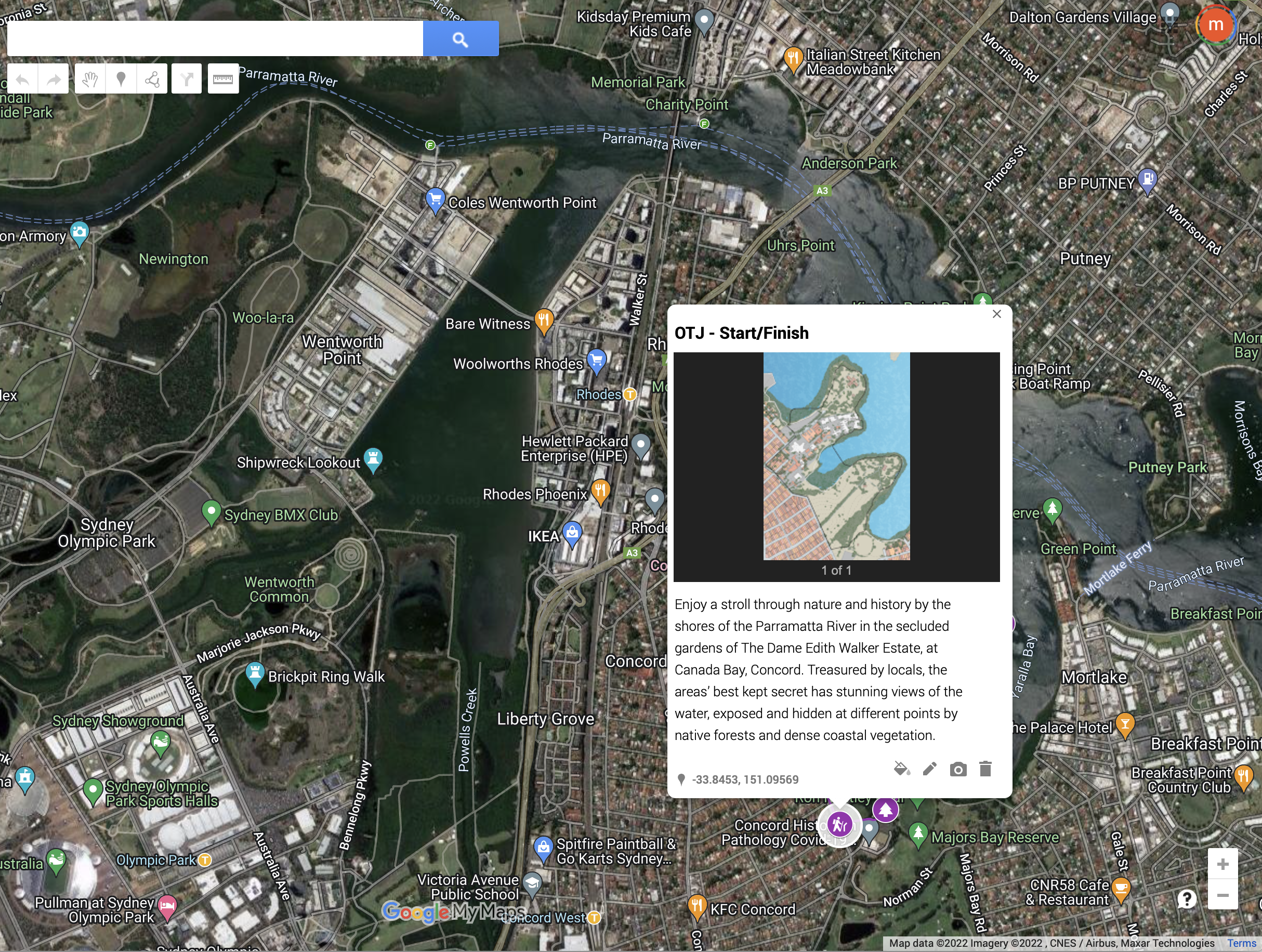
Congratulations to the second and third year students for their work for my studio ‘walking design / designing walks: Revealing water stories as paths to resilient urban landscapes’. It was a challenging term, navigating lockdown and working from home, but the students designed insightful walks and landscapes in their local (5k radius!) neighbourhoods, which ended up being from all areas of Sydney (and even one on the Central Coast!). If you’d like to explore their walks, designs, and interactive media elements, please visit the course website, or explore their walking routes on the course Google map, where all of the walks are collected. Many thanks to all the students for their hard work on their own projects, as well as their collected work on the contextual mapping and website. Special thanks to the website group, to Fergus Barker for his work on the website and for his critical feedback throughout the term, to our guest critics Jayde Roberts, Lee Roberts, Jane Hutton, Kelly Majewski and Susanne Trumpf, and to the LA faculty at UTS for their critical feedback and support.
From the brief:
The effects of climate change are increasingly impacting individuals, cities, and regions around the globe. Many of these impacts are directly related to water supply, removal, and management, whether through sea level rise, or the increasing intensity and frequency of storms, floods, droughts and heat waves. In Greater Sydney, as in most places, the physical fact of the water management network is not an actively acknowledged part of most of our lives, that is, until it ceases to function. In this way, we can summarize our common experience of much of the infrastructure which is embedded in the landscape: it becomes invisible.
In order to both make these systems visible and to intervene, we need to pay attention to their evidence of action – the artifacts which indicate both a specific history and process, and also connect to a wider network. Following and documenting the path of water, we can reveal the urban evidence of these water infrastructural processes. Once we recognize, reveal and raise awareness about the water networks that surround us, we can better contribute to designing and developing interventions to enable resilient, adaptive, climate-sensitive landscapes.